Twin Peaks (Elko County, Nevada)
| Twin Peaks | |
|---|---|
 Twin Peaks viewed from Nevada State Route 227 | |
| Highest point | |
| Elevation | 7,479 ft (2,280 m) NAVD 88[1] |
| Prominence | 605 ft (184 m)[2] |
| Coordinates | 40°55′44″N 115°50′40″W / 40.92892°N 115.84438°W[2] |
| Geography | |
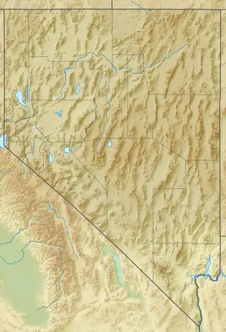 Twin Peaks Nevada, U.S. | |
| Location | Elko County, Nevada, U.S. |
| Parent range | Adobe Range |
| Topo map | KITTRIDGE SPRINGS |
| Climbing | |
| Easiest route | A four-wheel drive dirt road leads southeast from Nevada State Route 225 to radio facilities on the summits |
Twin Peaks are a pair of mountain peaks in the Adobe Range of Elko County, in Nevada, United States. The East Twin is slightly higher than the West Twin.[2] Both summits contains several radio towers.[2]
Summit panorama

References
- ^ "EAST TWIN". NGS Data Sheet. National Geodetic Survey, National Oceanic and Atmospheric Administration, United States Department of Commerce. Retrieved April 23, 2015.
- ^ a b c d "East Twin Benchmark (NV)". SummitPost.org. Retrieved April 23, 2015.
External links
 Media related to Twin Peaks (Adobe Range, Elko County, Nevada) at Wikimedia Commons