Trun, Orne
Trun | |
|---|---|
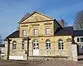
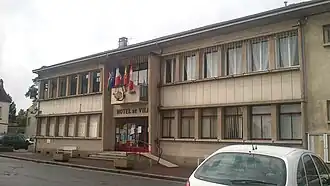 The town hall in Trun | |
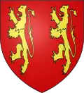 Coat of arms | |
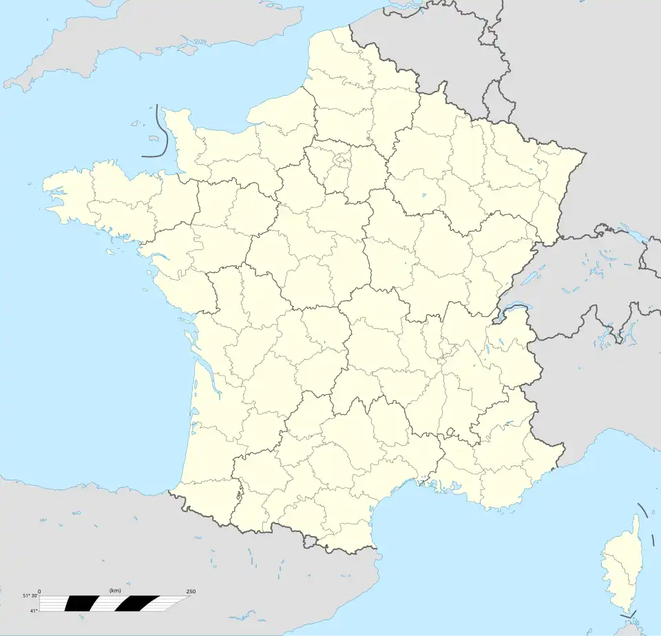
Location of Trun | |
 Trun 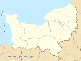 Trun | |
| Coordinates: 48°50′38″N 0°02′02″E / 48.8438°N 0.0338°E | |
| Country | France |
| Region | Normandy |
| Department | Orne |
| Arrondissement | Argentan |
| Canton | Argentan-2 |
| Intercommunality | Terres d'Argentan Interco |
| Government | |
| • Mayor (2020–2026) | Jacques Prigent[1] |
Area 1 | 9.12 km2 (3.52 sq mi) |
| Population (2022)[2] | 1,183 |
| • Density | 130/km2 (340/sq mi) |
| Time zone | UTC+01:00 (CET) |
| • Summer (DST) | UTC+02:00 (CEST) |
| INSEE/Postal code | 61494 /61160 |
| Elevation | 77–151 m (253–495 ft) (avg. 81 m or 266 ft) |
| 1 French Land Register data, which excludes lakes, ponds, glaciers > 1 km2 (0.386 sq mi or 247 acres) and river estuaries. | |
Trun (French pronunciation: [tʁœ̃] ⓘ) is a commune in the Orne département and the region of Normandy in north-western France.[3]
Geography
The commune is made up of the following collection of villages and hamlets, Magny, Le Ménil Girard and Trun.[4] The commune is spread over an area of 9.12 square kilometres (2,250 acres) with a maximum altitude of 151 metres (495 ft 5 in) and minimum of 77 metres (252 ft 7 in)[5]
The commune is part of the area known as Pays d'Auge.[6]
The commune has the River Dives running through it and two streams Guerard & Merdret's Creek.[7]
Neighbouring communes[4] | |
|---|---|
Land distribution
The 2018 CORINE Land Cover assessment shows the vast majority of the land in the commune, 61% (560 hectares (1,400 acres)) is Arable land.[5] The rest of the land is Meadows at 28%, Urbanised land at 8% and Heterogeneous agricultural land at 3%.[5]
Administration
| Start | End | Name | Party | Profession |
|---|---|---|---|---|
| 1989 | 2026 | Jacques Prigent | Independent - Left | Lawyer |
Population
| Year | Pop. | ±% p.a. |
|---|---|---|
| 1968 | 1,378 | — |
| 1975 | 1,344 | −0.36% |
| 1982 | 1,339 | −0.05% |
| 1990 | 1,230 | −1.06% |
| 1999 | 1,307 | +0.68% |
| 2007 | 1,325 | +0.17% |
| 2012 | 1,308 | −0.26% |
| 2017 | 1,245 | −0.98% |
| Source: INSEE[8] | ||
Economy
- Heller SA, manufacturer of plastic scale model kits.
- Electrical
Ruins and monuments
Aerial photography has revealed the trace of a Gallo-Roman habitat. In the 19th century a Merovingian dynasty necropolis was discovered.
Personalities associated with Trun
- Pierre Crestey 1622–1703, religious follower of Saint Vincent de Paul.
Twin towns
-
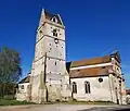 Church of Trun
 -
 old boarding school for boys
 -
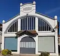 Garage Delaunay
 -
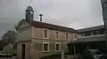 Trun Hospice
Further reading
- Bonnet de la Tour, R. (1968). L'Hospice et le Bourg de Trun (in French).
- Camus, Pierre; Gondouin, Ghislain (1996). Sutton, Alan (ed.). Mémoire en images, le canton de Trun (in French).
Notes and references
- ^ "Répertoire national des élus: les maires" (in French). data.gouv.fr, Plateforme ouverte des données publiques françaises. 13 September 2022.
- ^ "Populations de référence 2022" (in French). The National Institute of Statistics and Economic Studies. 19 December 2024.
- ^ "Commune de Trun (61494)". INSEE.
- ^ a b "Google Maps". Google Maps.
- ^ a b c "Trun (61) : Cadastre, PLU, zonage et risques majeurs". PLU & Cadastre.
- ^ Reinhard, Marcel (23 December 1923). "Le pays d'Auge". Annales de géographie. 32 (175): 33–40. doi:10.3406/geo.1923.10007 – via www.persee.fr.
- ^ Sandre. "Fiche cours d'eau - La Dives (I1--0200)".
- ^ Population en historique depuis 1968, INSEE
- ^ "Les services administratifs - Trun - Site officiel de la commune". www.trun.fr.
See also
External links
- Official site of the Commune of Trun (in French)
- Trun from times past (in French, but mostly images)