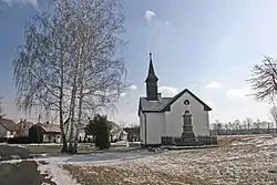
Stéblová
Stéblová | |
|---|---|
 Firehouse | |
 Flag 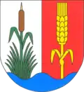 Coat of arms | |
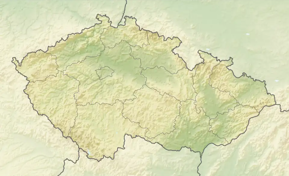 Stéblová Location in the Czech Republic | |
| Coordinates: 50°5′31″N 15°44′46″E / 50.09194°N 15.74611°E | |
| Country | |
| Region | Pardubice |
| District | Pardubice |
| First mentioned | 1385 |
| Area | |
• Total | 7.84 km2 (3.03 sq mi) |
| Elevation | 223 m (732 ft) |
| Population (2025-01-01)[1] | |
• Total | 335 |
| • Density | 43/km2 (110/sq mi) |
| Time zone | UTC+1 (CET) |
| • Summer (DST) | UTC+2 (CEST) |
| Postal code | 533 45 |
| Website | www |
Stéblová is a municipality and village in Pardubice District in the Pardubice Region of the Czech Republic. It has about 300 inhabitants.
History
The first written mention of Stéblová is from 1385.[2]
In 1960, Stéblová was the site of the Stéblová train disaster, the largest railway accident in the area of today's Czech Republic. 118 people died.[2]
Demographics
| Year | Pop. | ±% |
|---|---|---|
| 1869 | 162 | — |
| 1880 | 182 | +12.3% |
| 1890 | 253 | +39.0% |
| 1900 | 235 | −7.1% |
| 1910 | 219 | −6.8% |
| 1921 | 244 | +11.4% |
| 1930 | 222 | −9.0% |
| 1950 | 181 | −18.5% |
| 1961 | 180 | −0.6% |
| 1970 | 160 | −11.1% |
| 1980 | 134 | −16.2% |
| 1991 | 148 | +10.4% |
| 2001 | 160 | +8.1% |
| 2011 | 224 | +40.0% |
| 2021 | 282 | +25.9% |
| Source: Censuses[3][4] | ||
References
- ^ "Population of Municipalities – 1 January 2025". Czech Statistical Office. 2025-05-16.
- ^ a b "O obci" (in Czech). Obec Stéblová. Retrieved 2022-07-12.
- ^ "Historický lexikon obcí České republiky 1869–2011" (in Czech). Czech Statistical Office. 2015-12-21.
- ^ "Population Census 2021: Population by sex". Public Database. Czech Statistical Office. 2021-03-27.
External links
Wikimedia Commons has media related to Stéblová.