Skořenice
Skořenice | |
|---|---|
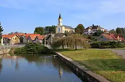 Centre of Skořenice | |
 Flag  Coat of arms | |
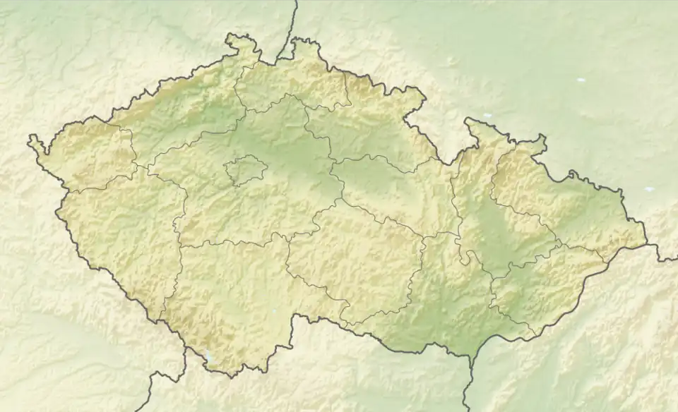 Skořenice Location in the Czech Republic | |
| Coordinates: 50°1′53″N 16°13′19″E / 50.03139°N 16.22194°E | |
| Country | |
| Region | Pardubice |
| District | Ústí nad Orlicí |
| First mentioned | 1373 |
| Area | |
• Total | 4.46 km2 (1.72 sq mi) |
| Elevation | 294 m (965 ft) |
| Population (2025-01-01)[1] | |
• Total | 410 |
| • Density | 92/km2 (240/sq mi) |
| Time zone | UTC+1 (CET) |
| • Summer (DST) | UTC+2 (CEST) |
| Postal code | 565 01 |
| Website | www |
Skořenice (German: Skorenitz) is a municipality and village in Ústí nad Orlicí District in the Pardubice Region of the Czech Republic. It has about 400 inhabitants.
Skořenice lies approximately 15 kilometres (9 mi) north-west of Ústí nad Orlicí, 32 km (20 mi) east of Pardubice, and 129 km (80 mi) east of Prague.
Demographics
| Year | Pop. | ±% |
|---|---|---|
| 1869 | 489 | — |
| 1880 | 521 | +6.5% |
| 1890 | 508 | −2.5% |
| 1900 | 503 | −1.0% |
| 1910 | 444 | −11.7% |
| 1921 | 547 | +23.2% |
| 1930 | 501 | −8.4% |
| 1950 | 433 | −13.6% |
| 1961 | 500 | +15.5% |
| 1970 | 428 | −14.4% |
| 1980 | 394 | −7.9% |
| 1991 | 372 | −5.6% |
| 2001 | 451 | +21.2% |
| 2011 | 431 | −4.4% |
| 2021 | 373 | −13.5% |
| Source: Censuses[2][3] | ||
References
- ^ "Population of Municipalities – 1 January 2025". Czech Statistical Office. 2025-05-16.
- ^ "Historický lexikon obcí České republiky 1869–2011" (in Czech). Czech Statistical Office. 2015-12-21.
- ^ "Population Census 2021: Population by sex". Public Database. Czech Statistical Office. 2021-03-27.
External links
Wikimedia Commons has media related to Skořenice.