Malá Tŕňa
Malá Tŕňa
Kistoronya | |
|---|---|
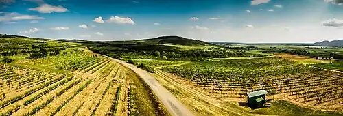 Vineyards near Malá Tŕňa seen from the viewing tower | |
 Flag | |
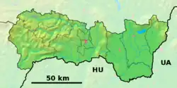 Malá Tŕňa Location of Malá Tŕňa in the Košice Region 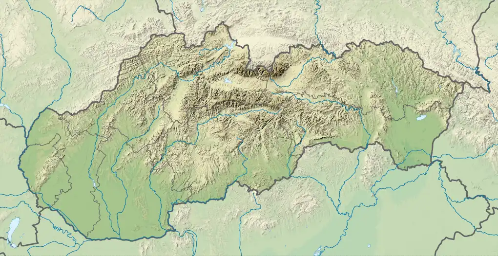 Malá Tŕňa Location of Malá Tŕňa in Slovakia | |
| Coordinates: 48°28′N 21°41′E / 48.46°N 21.68°E | |
| Country | |
| Region | |
| District | Trebišov District |
| First mentioned | 1392 |
| Area | |
• Total | 9.81 km2 (3.79 sq mi) |
| Elevation | 167 m (548 ft) |
| Population (2021)[3] | |
• Total | 348 |
| Time zone | UTC+1 (CET) |
| • Summer (DST) | UTC+2 (CEST) |
| Postal code | 768 2[2] |
| Area code | +421 56[2] |
| Car plate | TV |
| Website | malatrna |
Malá Tŕňa (formerly Malá Toroňa; Hungarian: Kistoronya)[4] is a village and municipality in the Trebišov District in the Košice Region of south-eastern Slovakia.
History
In historical records, the village was first mentioned in 1392.
Geography
The village lies at an altitude of 186 metres and covers an area of 9.807 km². It has a population of about 450 people.
Ethnicity
The village is about 88% Slovak and 12% Hungarian.
Facilities
The village has a public library.
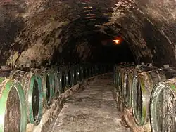
The village is located in the Tokaj wine region and contains several ancient wine cellars.
The village has a nearby viewing tower.
The village is furthest from the sea in Europe.

References
- ^ "Hustota obyvateľstva - obce [om7014rr_ukaz: Rozloha (Štvorcový meter)]". www.statistics.sk (in Slovak). Statistical Office of the Slovak Republic. 2022-03-31. Retrieved 2022-03-31.
- ^ a b c "Základná charakteristika". www.statistics.sk (in Slovak). Statistical Office of the Slovak Republic. 2015-04-17. Retrieved 2022-03-31.
- ^ "Počet obyvateľov podľa pohlavia - obce (ročne)". www.statistics.sk (in Slovak). Statistical Office of the Slovak Republic. 2022-03-31. Retrieved 2022-03-31.
- ^ Majtán, Milan (1998). Názvy obcí Slovenskej Republiky (Vývin v rokoch 1773-1997). Bratislava: Veda.
External links