Lapham, Arizona
Lapham, Arizona | |
|---|---|
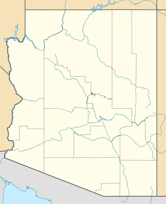 Lapham Location within the state of Arizona 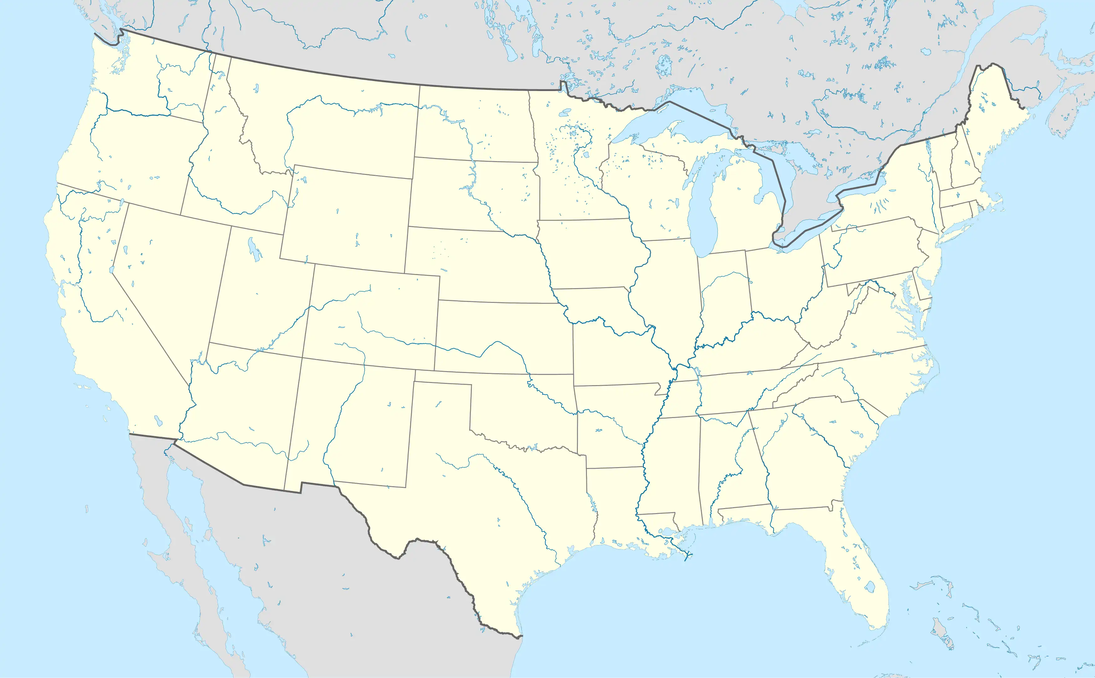 Lapham Lapham (the United States) | |
| Coordinates: 34°10′50″N 112°24′08″W / 34.18056°N 112.40222°W | |
| Country | United States |
| State | Arizona |
| County | Yavapai |
| Elevation | 5,253 ft (1,601 m) |
| Time zone | UTC-7 (Mountain (MST)) |
| Area code | 928 |
| FIPS code | 04-40175 |
| GNIS feature ID | 38562[1] |
Lapham is a populated place situated in Yavapai County, Arizona, United States.[2]
References
- ^ a b U.S. Geological Survey Geographic Names Information System: Lapham, Arizona
- ^ "Lapham (in Yavapai County, AZ) Populated Place Profile". AZ Hometown Locator. Retrieved November 27, 2016.
External links
- Visit of ghost town Lapham, AZ and surrounding mining area
 Media related to Lapham, Arizona at Wikimedia Commons
Municipalities and communities of Yavapai County, Arizona, United States | ||
|---|---|---|
| Cities |  | |
| Towns | ||
| CDPs | ||
| Populated places | ||
| Indian reservations | ||
| Ghost towns | ||
| Footnotes | ‡This populated place also has portions in an adjacent county or counties | |