Crockerville, Missouri
Crockerville, Missouri | |
|---|---|
 Crockerville  Crockerville | |
| Coordinates: 38°26′34″N 93°06′16″W / 38.44278°N 93.10444°W | |
| Country | United States |
| State | Missouri |
| County | Benton |
| Elevation | 1,024 ft (312 m) |
| Time zone | UTC-6 (Central (CST)) |
| • Summer (DST) | UTC-5 (CDT) |
| Area code | 660 |
| GNIS feature ID | 740778[1] |
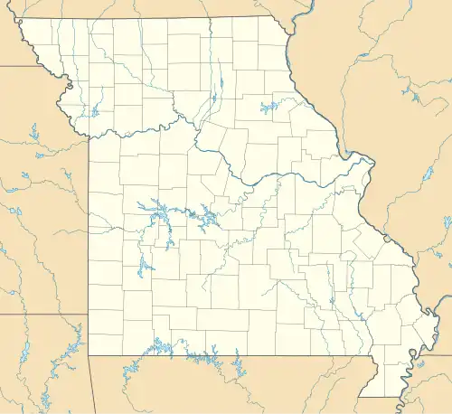
Crockerville is an unincorporated community in Benton County, Missouri, United States. Crockerville is located along Missouri Route 52, 5.5 miles (8.9 km) east-southeast of Cole Camp.[2]
References
- ^ a b U.S. Geological Survey Geographic Names Information System: Crockerville, Missouri
- ^ Benton County General Highway Map (PDF) (Map). Missouri Department of Transportation. 2005. Archived from the original (PDF) on May 27, 2010. Retrieved May 23, 2012.
Municipalities and communities of Benton County, Missouri, United States | ||
|---|---|---|
| Cities |  | |
| Village | ||
| Townships | ||
| CDPs | ||
| Unincorporated communities | ||
| Former settlements | ||
| Footnotes | ‡This populated place also has portions in an adjacent county or counties | |