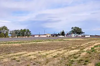
Burns Junction, Oregon
Burns Junction | |
|---|---|
 | |
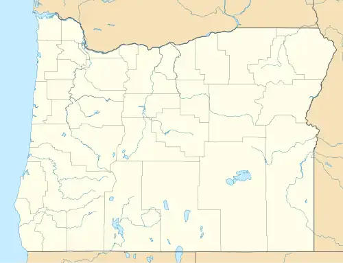 Burns Junction Location within the state of Oregon 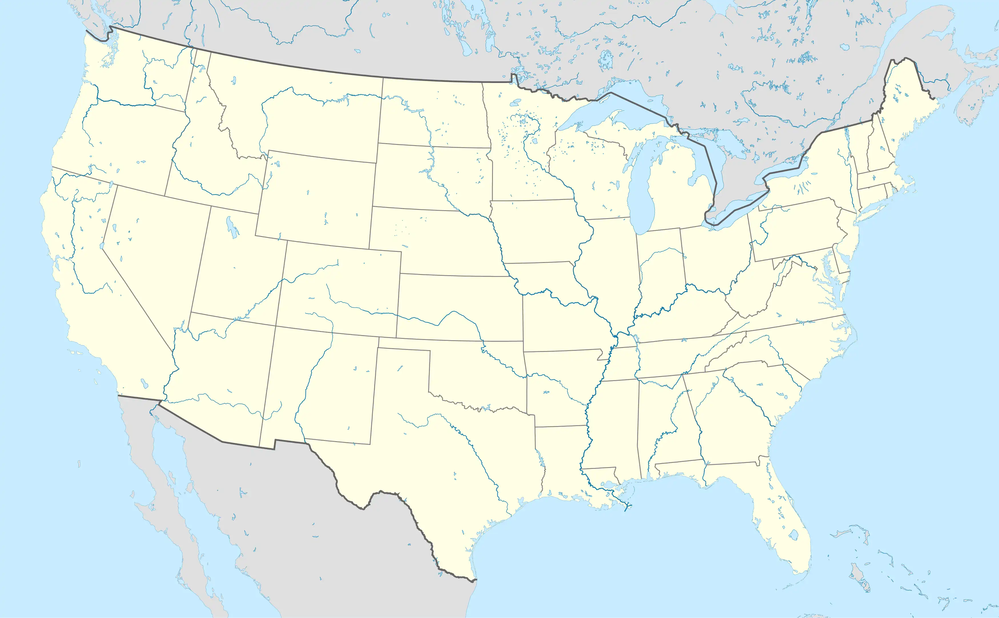 Burns Junction Burns Junction (the United States) | |
| Coordinates: 42°46′37″N 117°51′12″W / 42.77694°N 117.85333°W | |
| Country | United States |
| State | Oregon |
| County | Malheur |
| Elevation | 3,934 ft (1,199 m) |
| Time zone | UTC-7 (Mountain) |
| • Summer (DST) | UTC-6 (MDT) |
| ZIP codes | 97910 |
| Area code | 541 |
| Coordinates and elevation from United States Geological Survey[1] | |
Burns Junction is an unincorporated community located in Malheur County, Oregon, United States,[1] situated at the intersection of U.S. Route 95 and Oregon Route 78, it lies approximately 80 miles (130 km) southeast of the Harney County city of Burns.[2]
Climate
According to the Köppen Climate Classification system, Burns Junction has a semi-arid climate, abbreviated "BSk" on climate maps.[3]
Education
The community is in Arock School District 81, based in Arock.[4][5]
References
- ^ a b "Burns Junction". Geographic Names Information System. United States Geological Survey, United States Department of the Interior. November 28, 1980. Retrieved November 13, 2010.(dead link)
- ^ Oregon Atlas & Gazetteer (7th ed.). Yarmouth, Maine: DeLorme. 2008. pp. 82–83, 87. ISBN 0-89933-347-8.
- ^ "Burns Junction, Oregon". Weatherbase. CantyMedia. Retrieved February 1, 2017.
- ^ "MALHEUR COUNTY Sheet 5 of 10" (PDF). Oregon Department of Transportation. Retrieved March 22, 2024. - Compare to the school district maps.
- ^ "2020 CENSUS - SCHOOL DISTRICT REFERENCE MAP: Malheur County, OR" (PDF). United States Census Bureau. p. 2 (PDF p. 3/3). Archived (PDF) from the original on October 9, 2022. Retrieved March 22, 2024. - Text list - Compare to the ODOT map.
Municipalities and communities of Malheur County, Oregon, United States | ||
|---|---|---|
| Cities | 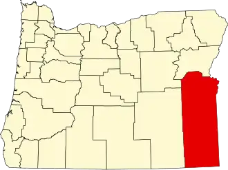 | |
| CDPs | ||
| Other communities | ||
| Ghost towns | ||
| Indian reservation | ||
| Footnotes | ‡This populated place also has portions in an adjacent county or counties | |