Brandshagen
Brandshagen | |
|---|---|
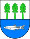 Coat of arms | |
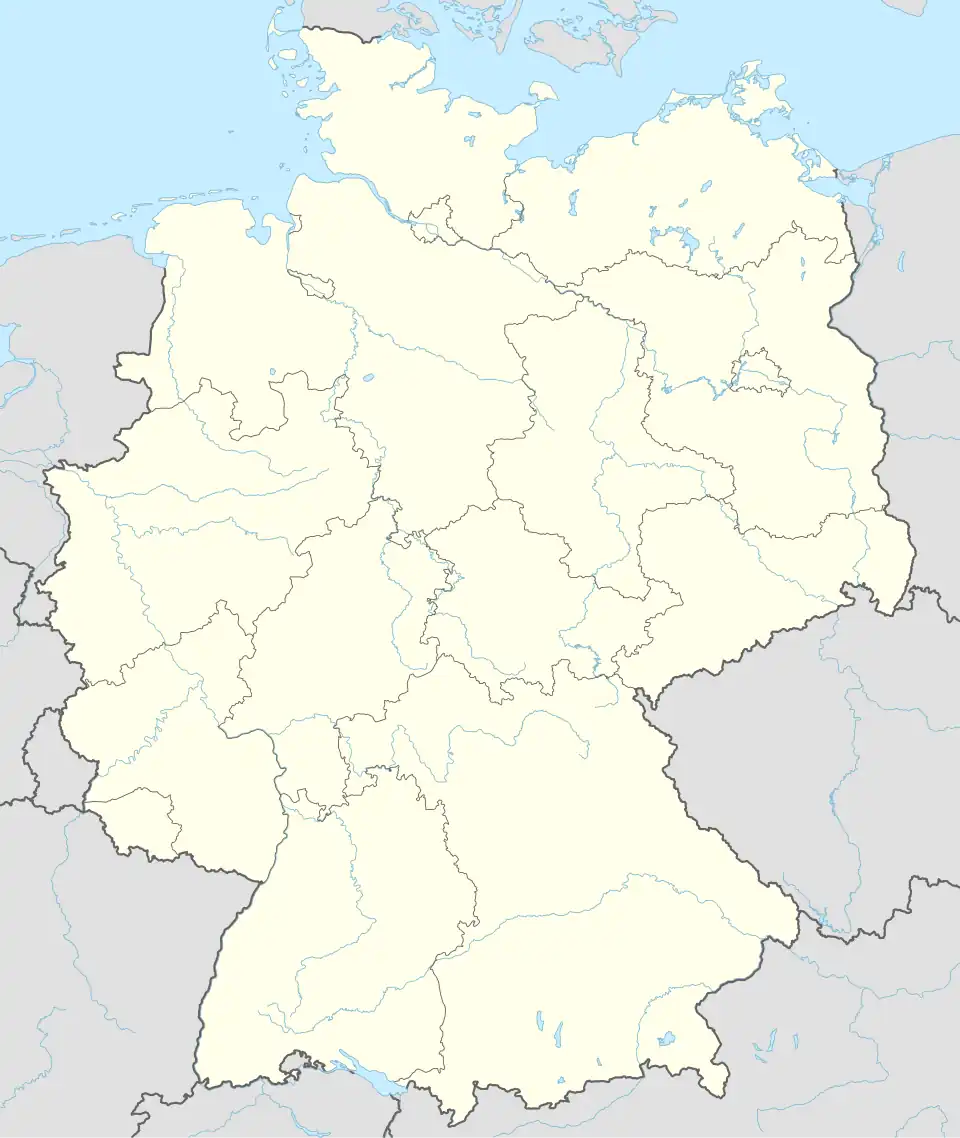
Location of Brandshagen | |
 Brandshagen 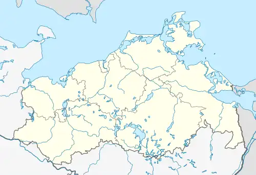 Brandshagen | |
| Coordinates: 54°15′N 13°11′E / 54.250°N 13.183°E | |
| Country | Germany |
| State | Mecklenburg-Vorpommern |
| District | Vorpommern-Rügen |
| Town | Sundhagen |
| Area | |
• Total | 24.04 km2 (9.28 sq mi) |
| Elevation | 3 m (10 ft) |
| Population (2006-12-31) | |
• Total | 1,264 |
| • Density | 53/km2 (140/sq mi) |
| Time zone | UTC+01:00 (CET) |
| • Summer (DST) | UTC+02:00 (CEST) |
| Postal codes | 18519 |
| Dialling codes | 038328 |
| Vehicle registration | NVP |
| Website | www.brandshagen.de |
Brandshagen is a village and a former municipality in the Vorpommern-Rügen district, in Mecklenburg-Vorpommern, Germany. It is located on the Pomeranian mainland opposite the island of Rügen.
It was named after Borante, an early member of the House of Putbus, who built a motte-and-bailey castle in the 13th century which has been proved by excavations. Hag(en) is an old word for an area enclosed or fenced in by a hedge (like The Hague).
Since 7 June 2009, it is part of the Sundhagen municipality.
.JPG)
Wikimedia Commons has media related to Brandshagen.