Batňovice
Batňovice | |
|---|---|
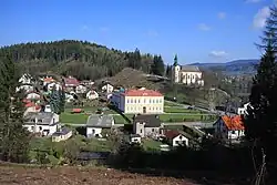 School and Church of Saint Bartholomew | |
 Flag  Coat of arms | |
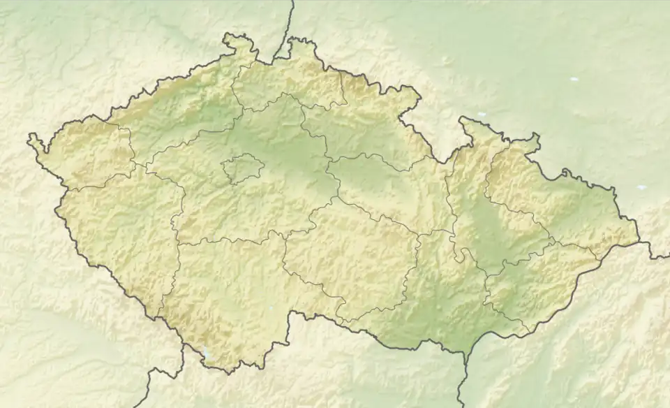 Batňovice Location in the Czech Republic | |
| Coordinates: 50°31′3″N 16°2′12″E / 50.51750°N 16.03667°E | |
| Country | |
| Region | Hradec Králové |
| District | Trutnov |
| First mentioned | 1408 |
| Area | |
• Total | 4.47 km2 (1.73 sq mi) |
| Elevation | 364 m (1,194 ft) |
| Population (2025-01-01)[1] | |
• Total | 790 |
| • Density | 180/km2 (460/sq mi) |
| Time zone | UTC+1 (CET) |
| • Summer (DST) | UTC+2 (CEST) |
| Postal code | 542 37 |
| Website | www |
Batňovice is a municipality and village in Trutnov District in the Hradec Králové Region of the Czech Republic. It has about 800 inhabitants.
History
The first written mention of Batňovice is from 1408.[2]
Demographics
| Year | Pop. | ±% |
|---|---|---|
| 1869 | 845 | — |
| 1880 | 986 | +16.7% |
| 1890 | 1,024 | +3.9% |
| 1900 | 1,111 | +8.5% |
| 1910 | 1,248 | +12.3% |
| 1921 | 1,063 | −14.8% |
| 1930 | 1,003 | −5.6% |
| 1950 | 891 | −11.2% |
| 1961 | 853 | −4.3% |
| 1970 | 864 | +1.3% |
| 1980 | 757 | −12.4% |
| 1991 | 675 | −10.8% |
| 2001 | 697 | +3.3% |
| 2011 | 723 | +3.7% |
| 2021 | 751 | +3.9% |
| Source: Censuses[3][4] | ||
References
- ^ "Population of Municipalities – 1 January 2025". Czech Statistical Office. 2025-05-16.
- ^ "1009 – 1848 /Od středověku po absolutismus" (in Czech). Obec Batňovice. Retrieved 2022-10-28.
- ^ "Historický lexikon obcí České republiky 1869–2011" (in Czech). Czech Statistical Office. 2015-12-21.
- ^ "Population Census 2021: Population by sex". Public Database. Czech Statistical Office. 2021-03-27.
External links
Wikimedia Commons has media related to Batňovice.